Outbreak map
From the whole countrydown to one valley.
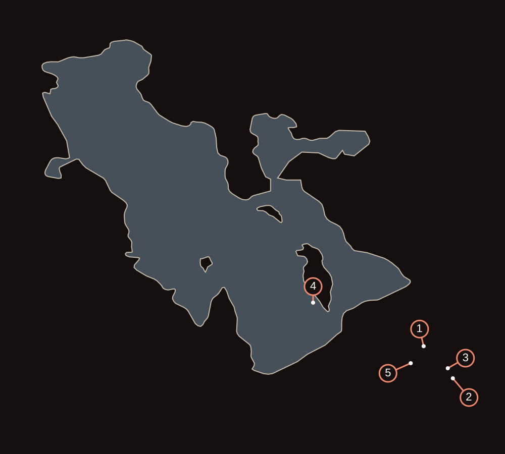
The spores rise from downtown and slowly fill the Salt Lake Valley. The map marks the source, the first scream, the way out, and everywhere the red fog has already swallowed.
CONNECTING
Connecting to live map
Lake outline from Natural Earth (1:10m). Story locations are approximate; numbered lines point to each one. Not for navigation.
- Outbreak · Temple Square
- Source · 4700 Wasatch Road
- Way out · East road
- Great Salt Lake
- Red fog · Salt Lake Valley
Legend
Source · 4700 Wasatch Road
The address from Zhao Lei's email, a workshop on the east side. Lao Liu says the fog is coming up from underground.
Outbreak · Temple Square
Night one. The scream comes through the restaurant window. This is where the city starts to come apart.
Red fog · Salt Lake Valley
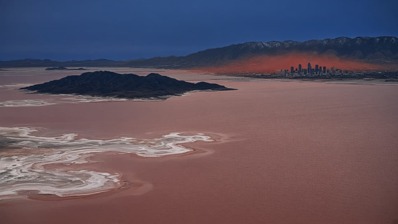
The streets start going red on night one. By sunrise the fog hangs over the whole city, and it is still spreading.
Way out · East road
The motel is compromised. The Wrangler heads for the mountains on a quarter tank.
Great Salt Lake
The real lake. City to the southeast, water to the northwest.